Buffalo River Trail Hike (Boxley to Kyles Landing): May 22-24, 2015
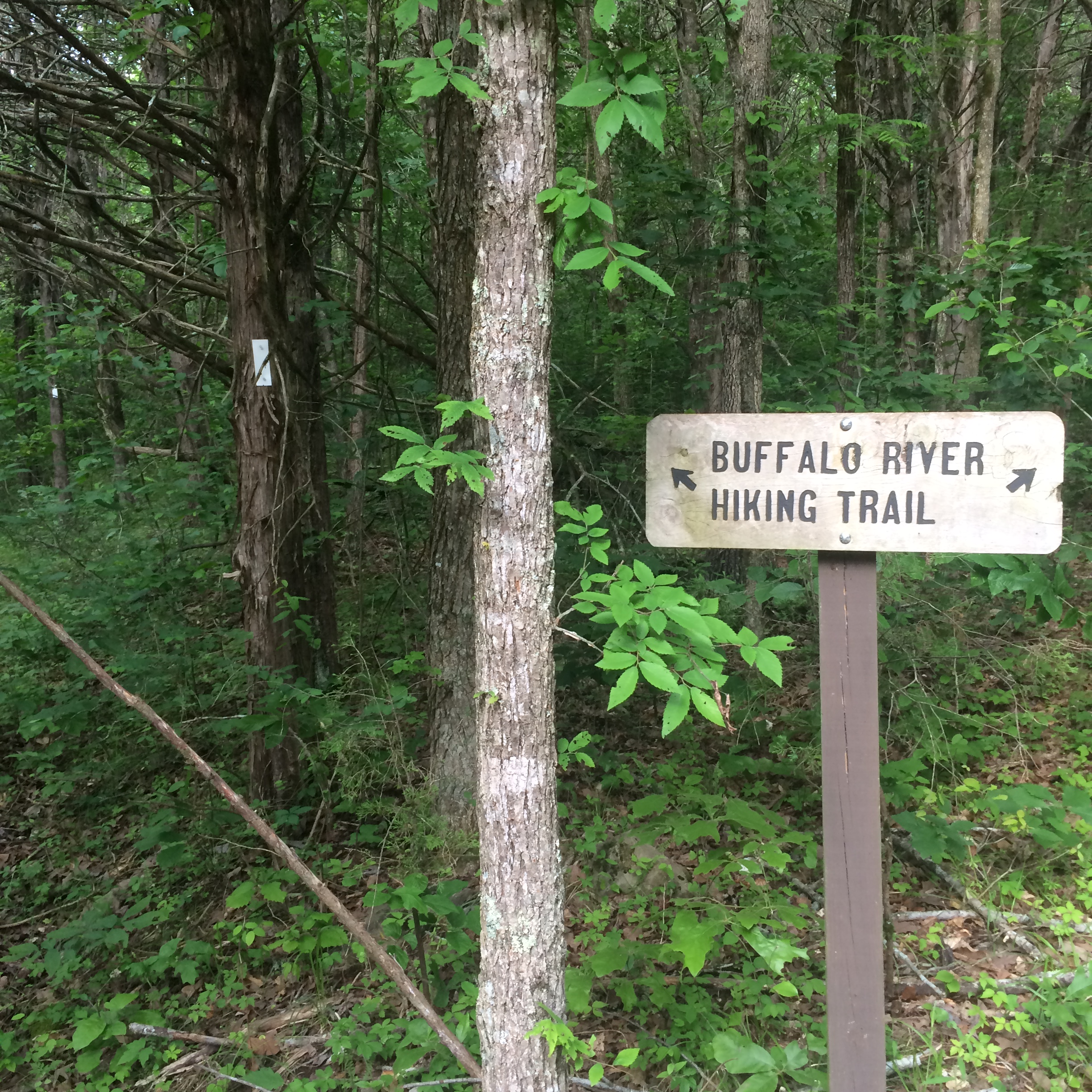
The Buffalo River Trail (BRT) is a 36.5 mile hiking trail in Northern Arkansas about an hour or so East of Springdale. The Buffalo River is a National River running 135 miles through Arkansas. It is a popular destination for float trips. There are a lot of trails in this area, but the BRT is considered the best hiking trail in the area and some of the best hiking in the Ozarks. The entire BRT runs from Boxley to Pruitt. We ended up doing just over half of the trail from Boxley to Kyles Landing. My oldest son Wesley and I were hiking this trail for his 16th birthday. We talked about maybe coming back for his 18th birthday and doing a float trip down the river.
For our hike we used Tim Ernst’s trail guide. It had some good maps and descent descriptions of the trail, but it was written primarily for day hikers. There was no mention of campsites in the guide, making finding a campsite at night a bit of a challenge. While there was an ongoing description of the trail, it was written in paragraph form separate from the map, making it difficult to read and hike at the same time. With that said, we only lost the trail once and found the guide helpful in making our way down the trail.
DAY 1
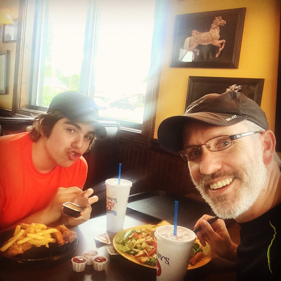
We left St. Jo at 6:40 a.m. in order to get to Springdale, Arkansas by lunch time to eat at where else, but Zaxby’s, our favorite chicken place.
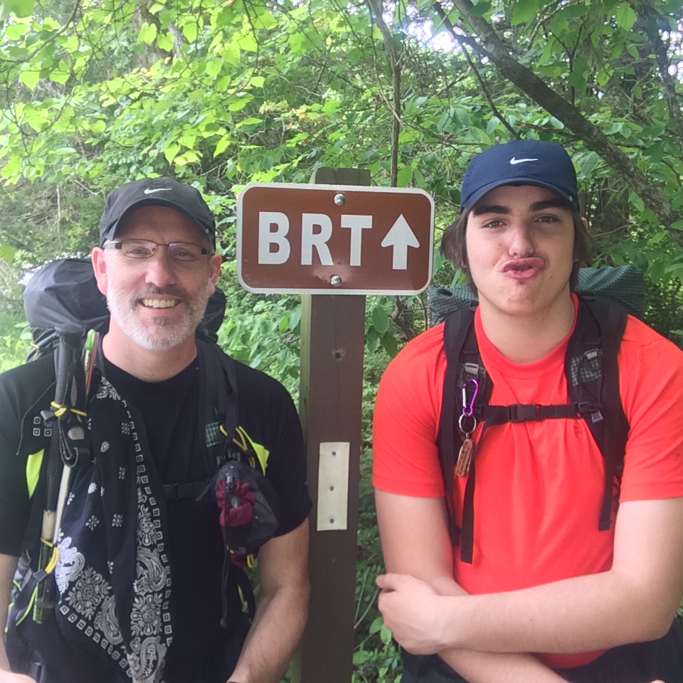
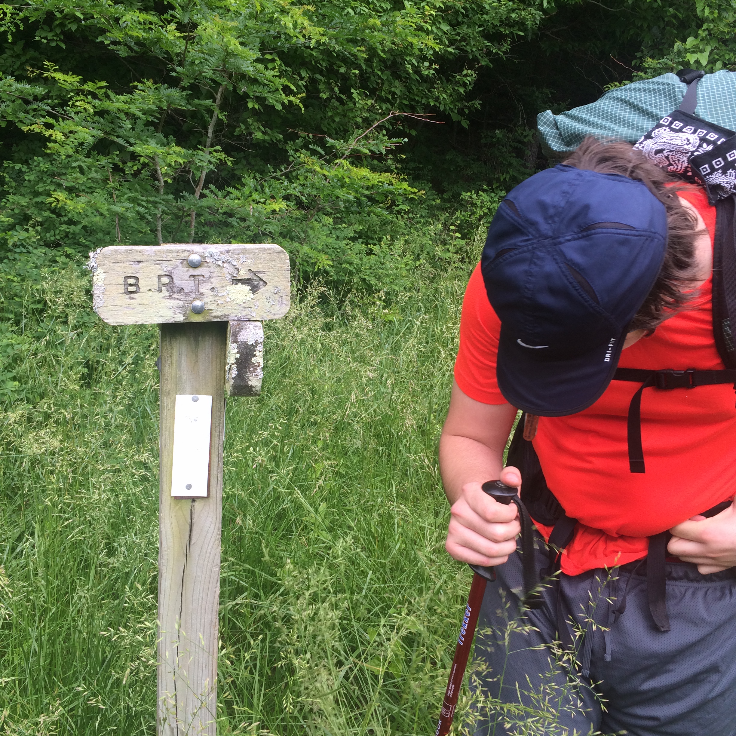
We drove another hour and half to Ponca and made it to the Buffalo Outdoor Center (BOC) by 1 p.m. When we dropped into the river valley we lost cell phone signal and never got service again. Grant at the BOC said there is no service along the trail, but that there are courtesy phones at the campgrounds which we would be hiking through and we could get a call out there to the ranger’s station or to the BOC. We dropped off a spare key and signed forms for them to shuttle our car to the end of the trail. We had a good experience at the BOC. As a river and hiking outfitter, they are fully stocked with whatever you need (last minute) for the trail. Their shuttle service is a bit pricey. It works like a valet service. They pick up our car from the trail head, keep it at their facility, and then drop it off at our desired location. After leaving the BOC we drove on to the Boxley trail head and locked up our car. We snapped a quick picture by the first sign and blaze and we were off at 1:30 p.m.
We crossed the road (Hwy 21) and immediately had to stop and take off our shoes and socks to cross Smith Creek. Thanks to my brother’s wise advice, I packed my camp shoes which made it easy to cross the creek. To do it again, I would have put on my camp shoes at the trail head and worn them across the road and across the creek. We passed two women who were going the opposite direction and we headed on around a field.
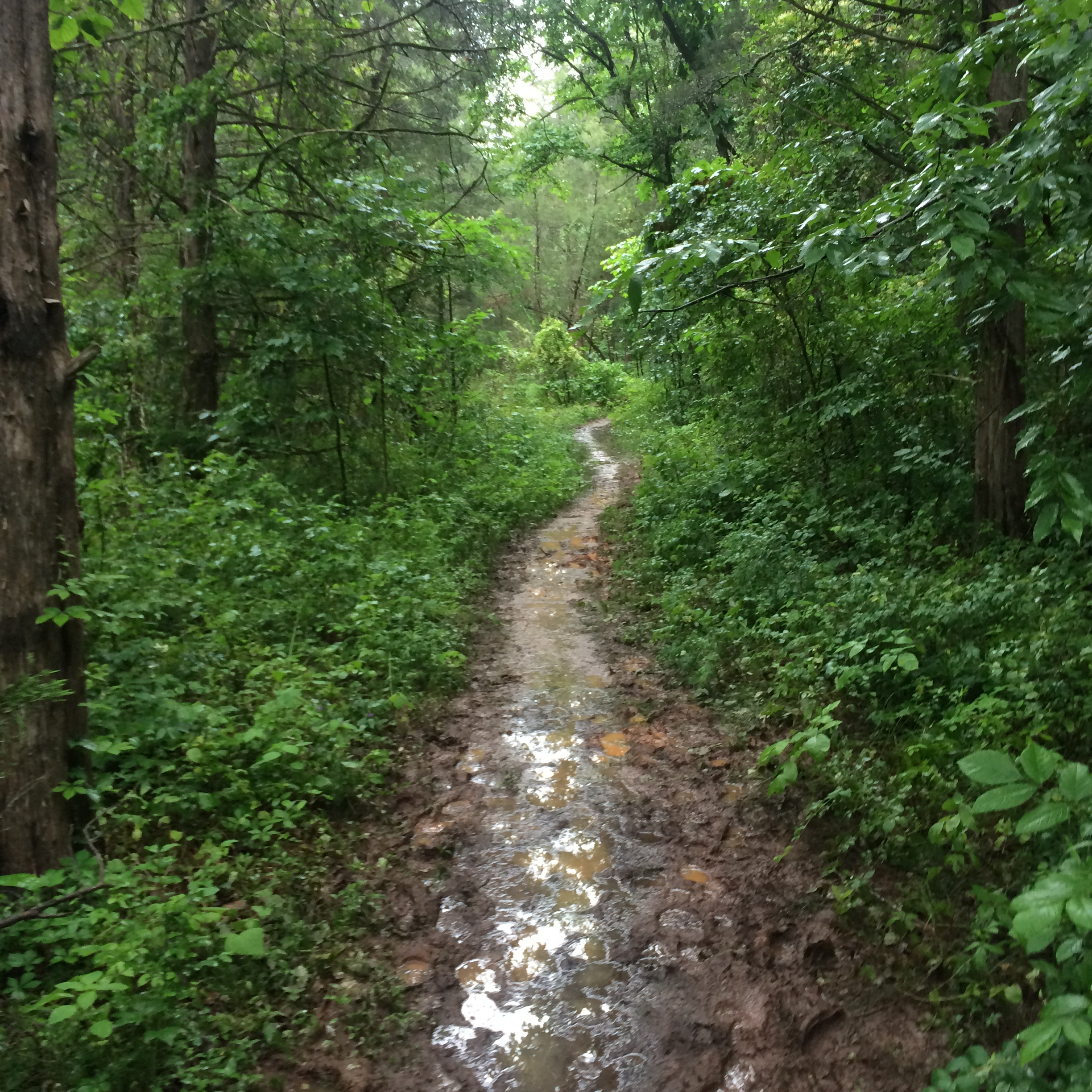
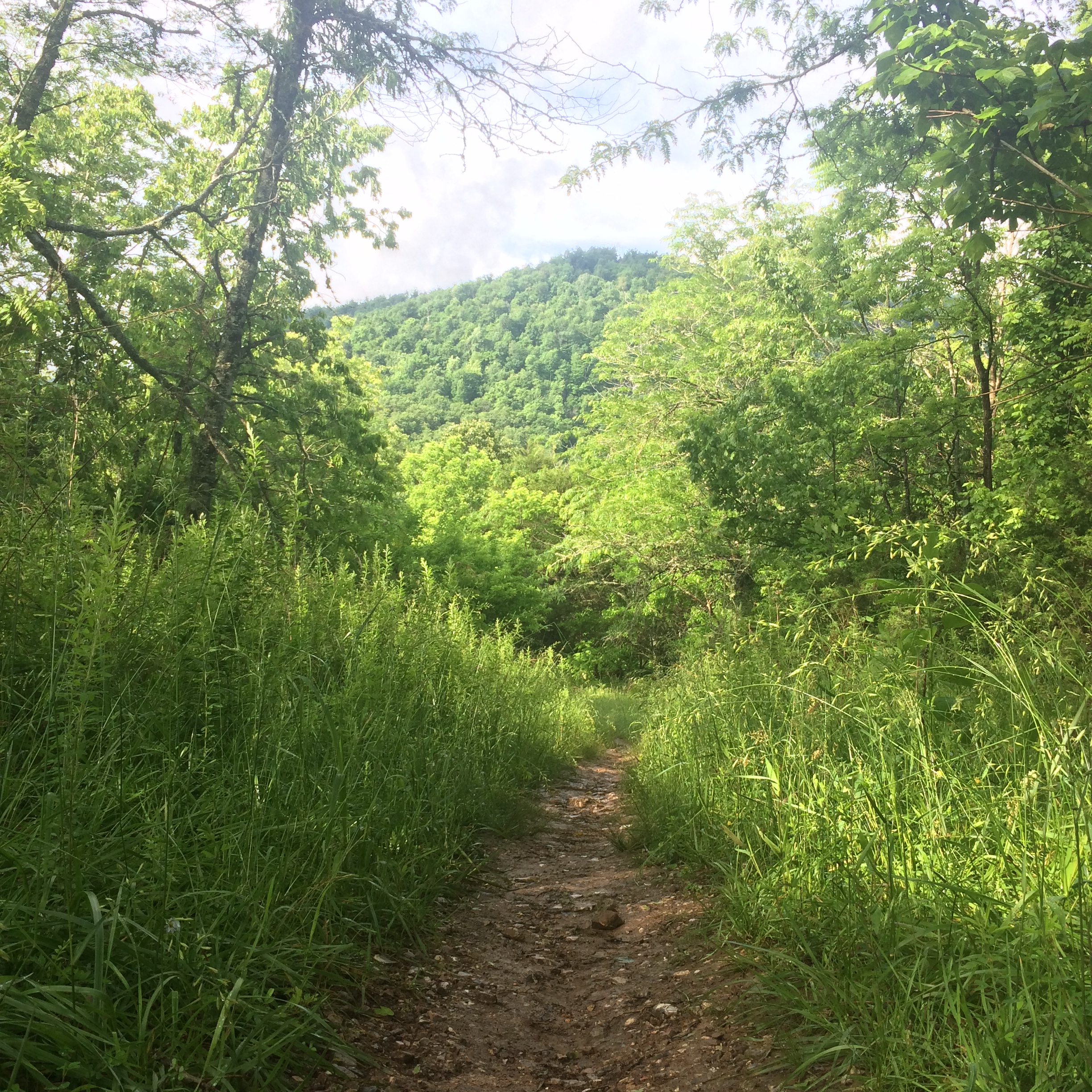
We began hiking up some small ascents and we were both surprised how thick the undergrowth was. It had been raining pretty steady in the area the last few weeks which meant streams were full, but it also meant undergrowth and grass with high. After walking through a grassy area Wesley starting counting the number of ticks he was knocking off his legs. He was up to three in the first two miles of the hike. At one point the grass was five feet high. No joke. I should have packed my weed eater.
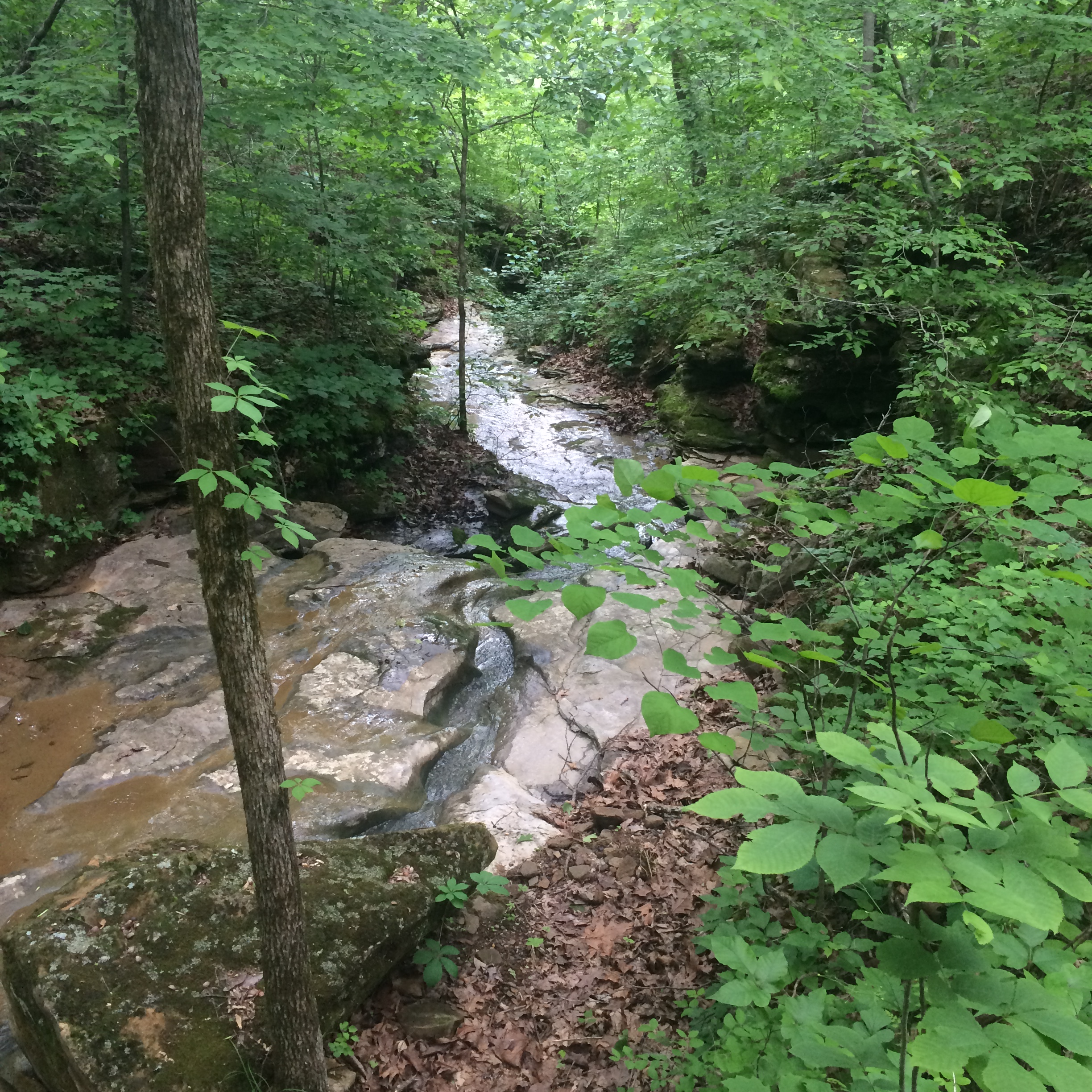
We caught a nice bluff view, before walking on a country road for a half mile or so. The trail jetted off the road and back down into the woods. We crossed a few streams along the way. As expected every stream and runoff had water moving. We were able to cross most streams without getting our feet wet for the most part. Some runoffs had rock beds that were slick, but we crossed through with no problems. We took a break at one creek running down the bluff. It has a nice cascading waterfall down it.
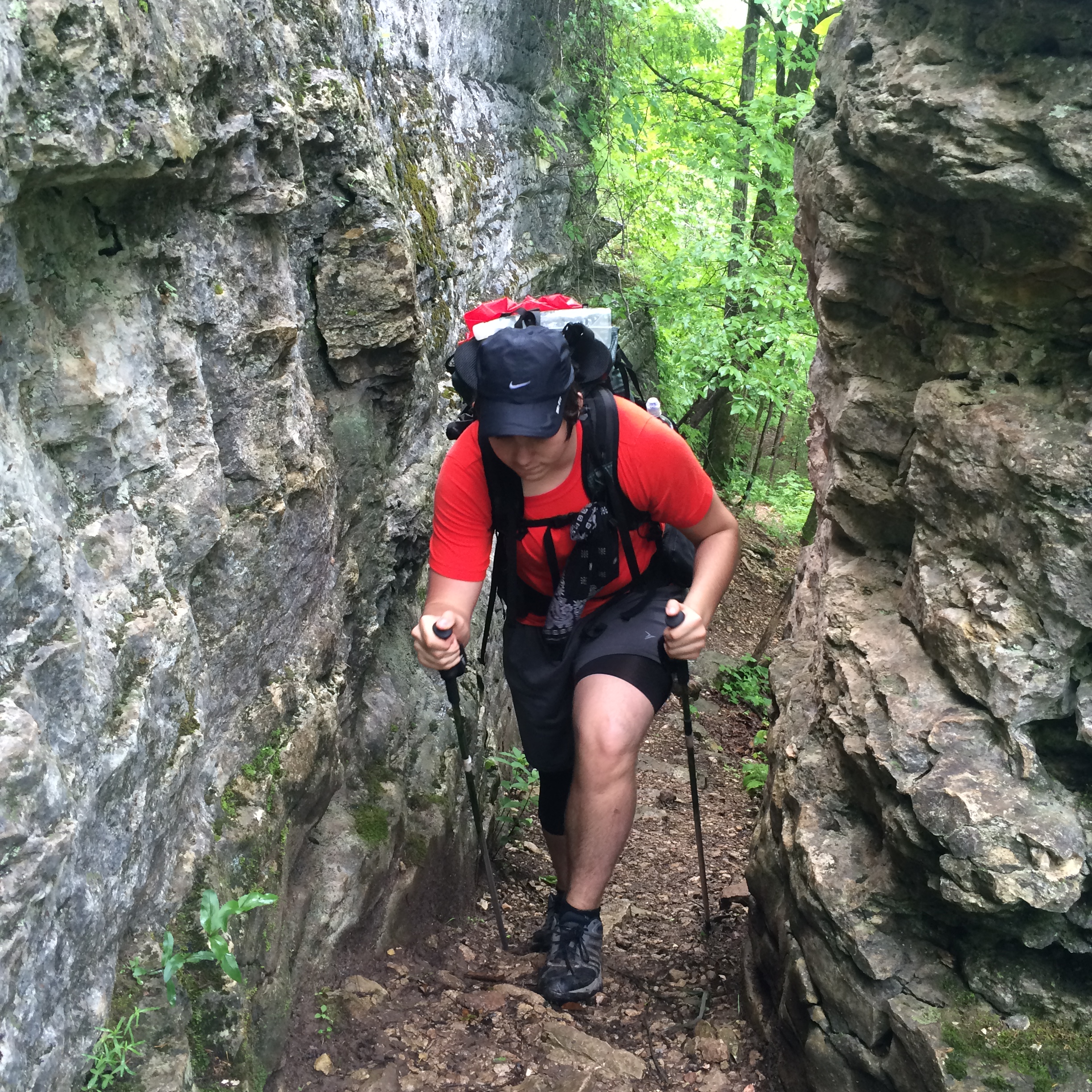
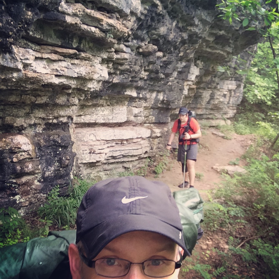
We crossed Arrington Creek at about the 3-mile mark. It had a nice campsite, but we were wanting to make more miles before making camp. We passed a number of blow downs along the way. Some looked recent. At one blow down over a large, rocky runoff we lost the trail. We looked around for a bit, before we saw a blaze on the other side of the runoff. According to the guide book we were using, the trail is not blazed, which is true…sorta. We did find either a blaze or a wooden sign of some sort anytime there was a sharp turn or intersection on the trail. The signs were helpful.
We continued to climb up the trail after Arrington Creek and Wesley continued to knock off more ticks. I had to pull three off his legs. By 6 miles in, Wesley already counted 12 ticks. I really regretted not spraying down our gear and clothes with Permethrin. We stopped for a break and Wesley put moleskin on two hot spots on the balls of his feet. They weren’t blisters, but they were getting red and sore. We crossed Dry Creek, which wasn’t dry and then crossed into a private property. When we arrived at Running Creek, we looked for a camping spot, but it looked like the creek and surrounding area was on private property. When we crossed the creek, we found goats!
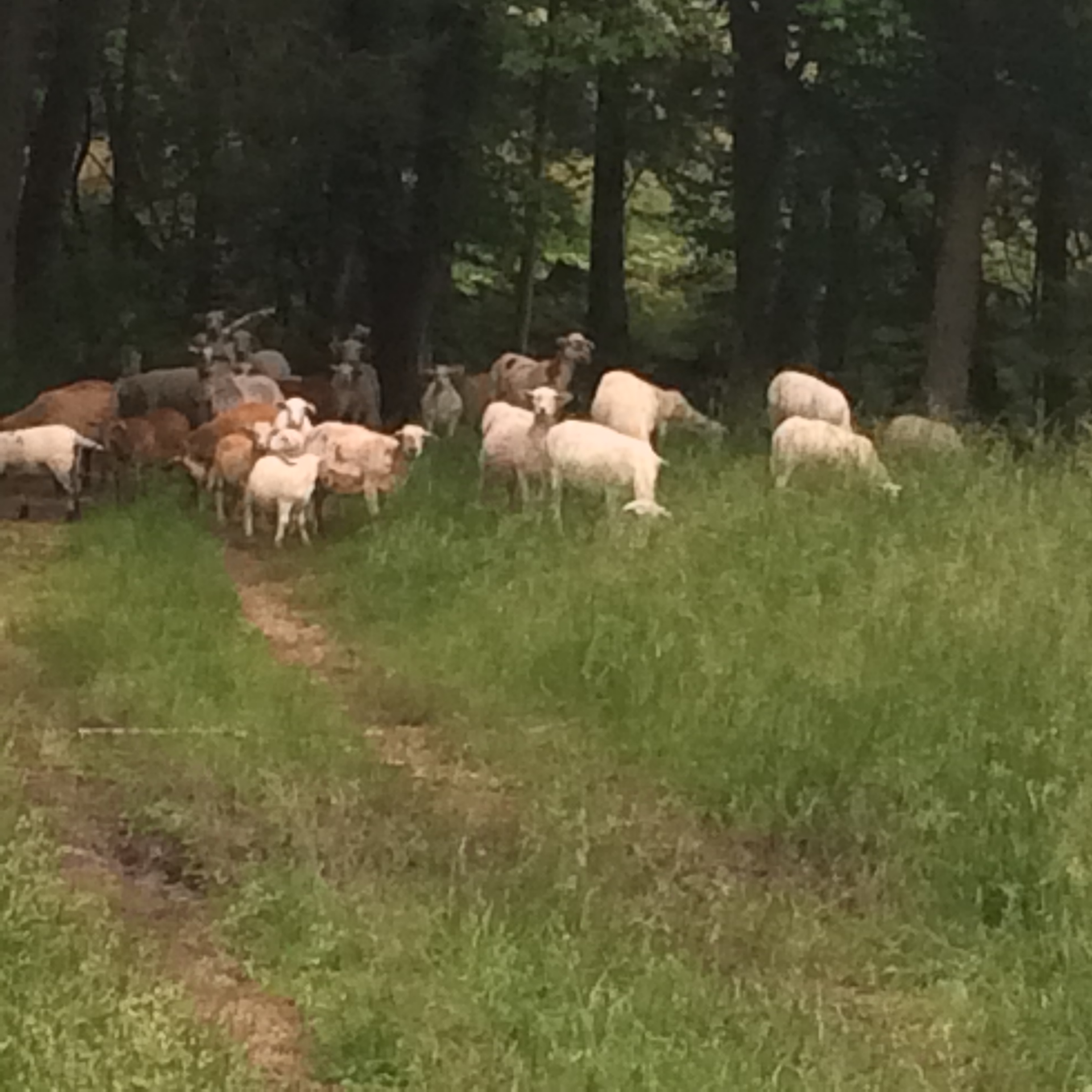
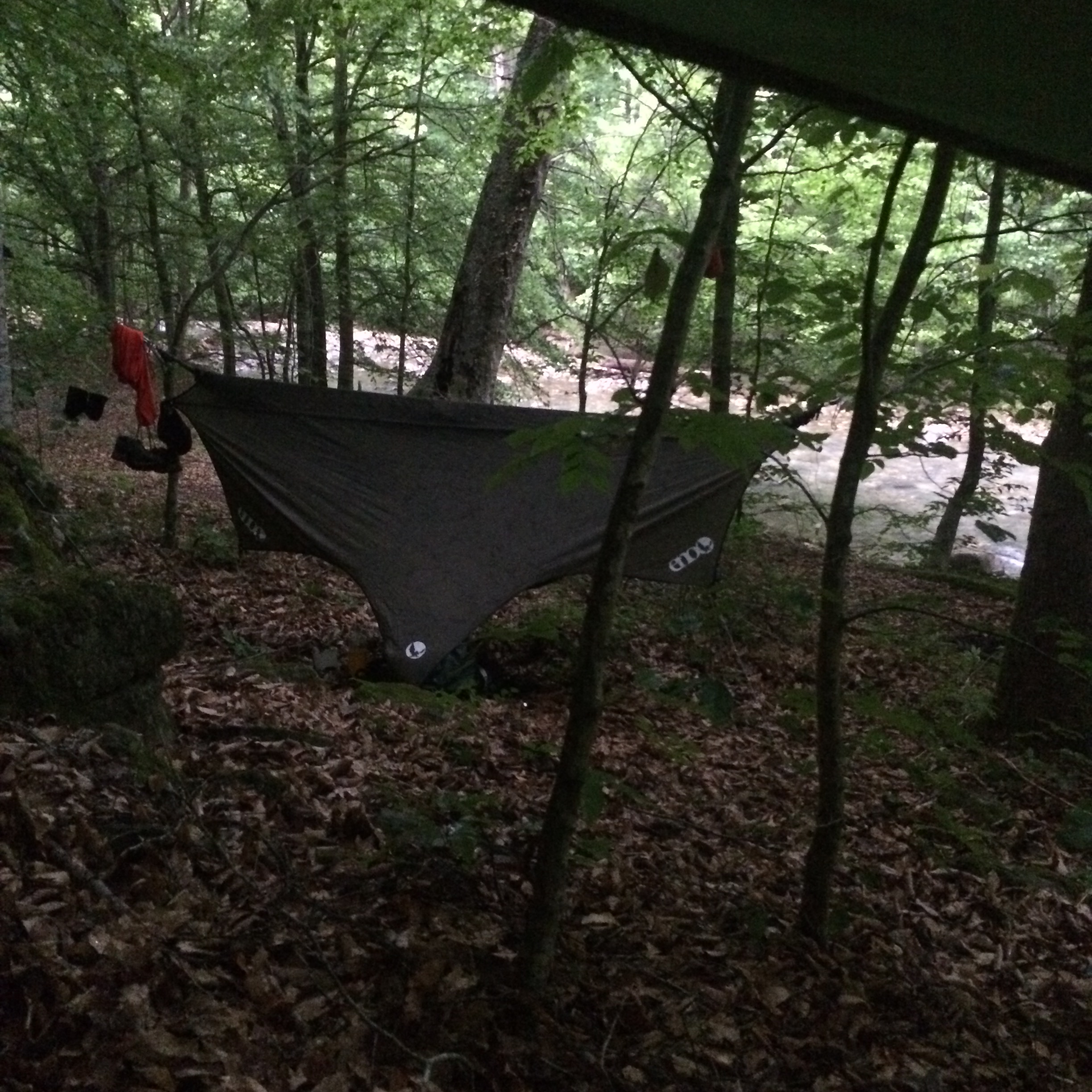
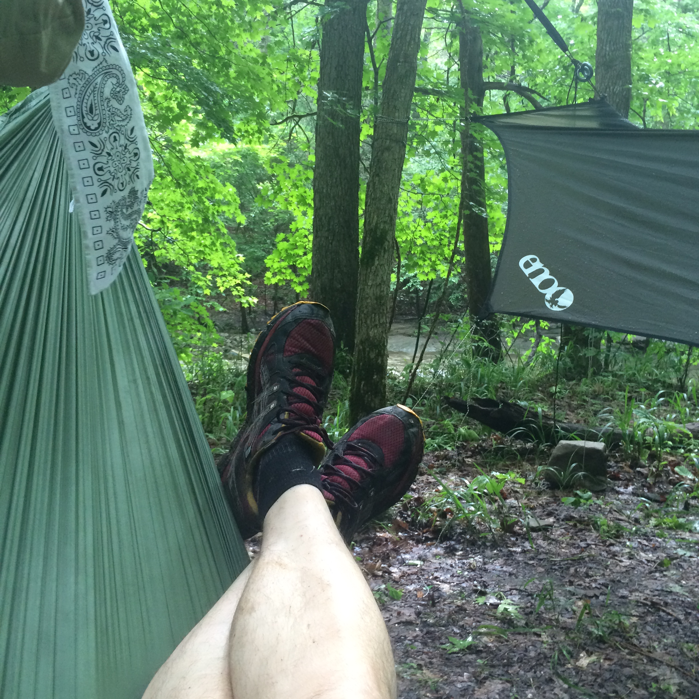
Apparently, whoever owns the land around this area is a goat farmer. We saw two fire rings near the creek, but it looked like those spots were all on private property. Bummer. We hiked back across the creek and looked for trees off the trail to hang our hammocks from. The challenge was to find trees near the creek, off the trail, and NOT on private property. We looked for a while and finally found four trees that would work even through the ground was on an incline. The good thing about hammocks is that you do not need level ground, but a step incline makes for a tough first step in the morning. I set up our hammocks while Wesley gathered fire wood. We were set up in the woods just on the other side of the property line, but still close to the creek.
We had finished setting up around 8:30 p.m., just as it was getting dark. We chose a flat spot near the creek to cook supper and build a fire, even though it was on private property. We ate mash potatoes and Turkey sausage bites and Wesley stretched out his pad next to the fire.
We both went to bed by 10 p.m. I stretched out in my hammock and fell a sleeping listening to the sound of the creek.
DAY 2
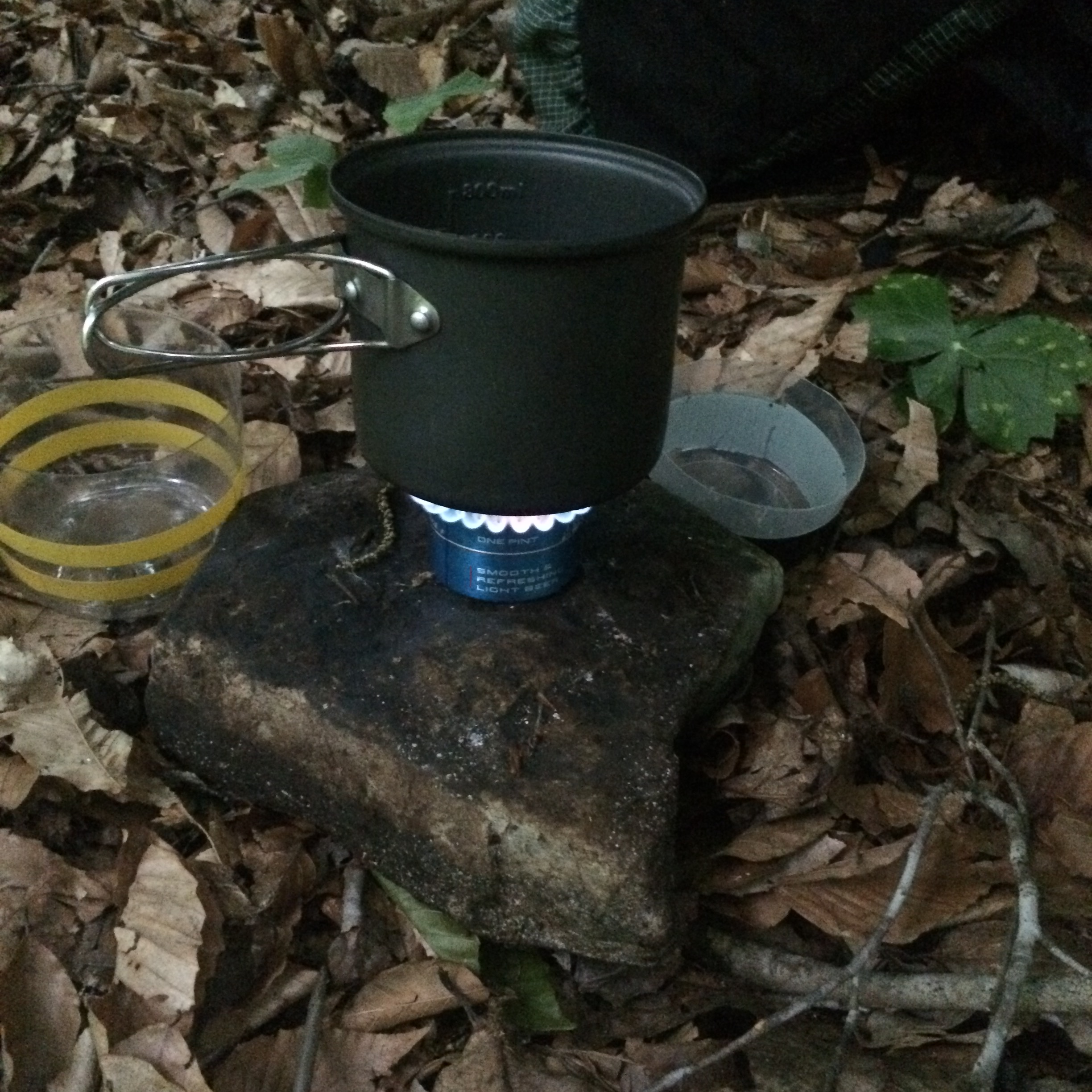
I woke up at 6:15 a.m. to light rain falling on my tarp. It was a cool morning. I couldn’t see my breath but I shivered a bit as I changed into my hiking clothes. I warmed up as I gathered water and grabbed my food bag. The rain picked up some so I sat on a rock under my tarp as I boiled water for coffee and oatmeal. Breakfast hit the spot. I was ready to hike. I woke Wesley up at 8. We were hiking by 9.
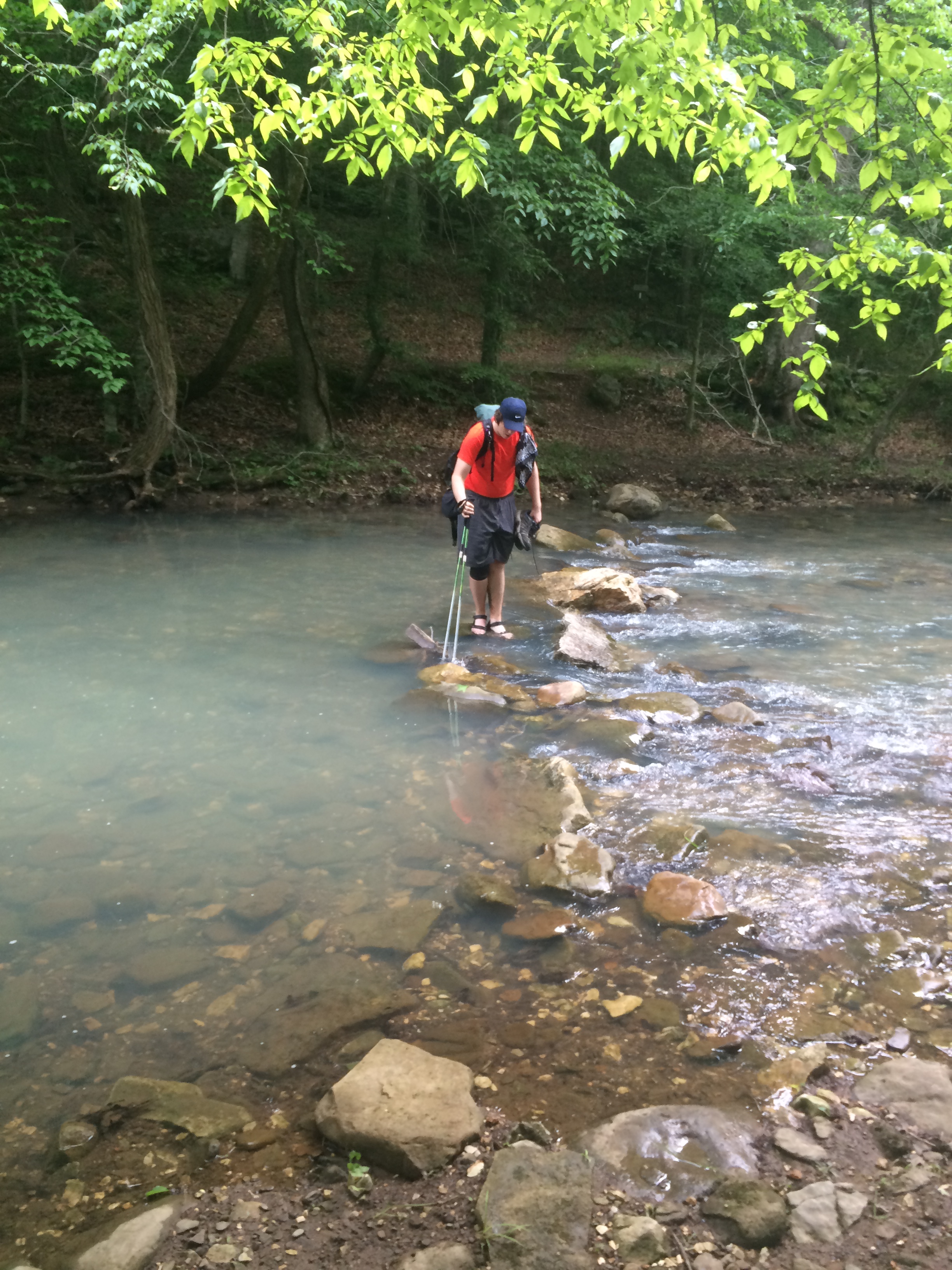
We had to cross Running Creek again which meant we had to stop dry our feet and put our socks and shoes back on after crossing the creek in our camp shoes. The trail began to ascend up out of the Running Creek, I am glad I didn’t wear my rain jacket even though it started raining a bit. We began to make some miles in the ran, hiking on a pretty muddy trail. In crossing a draining stream running down the bluff, I stepped stepped too quickly on the slick open rock face and fell on my right side. I fell on my right arm and shoulder with a quick THUD. I hiked nearly 100 miles last year on the AT and didn’t fall once. I am out here two days and I fall in the first 10 miles. Lessons learned. Step slowly on slick rocks. We kept walking and as the rain let up, I shot a quick video.
We made it to the Ponca landing and saw a number of people with canoes and kayaks getting ready to put in. We thought we might eat lunch there, but there wasn’t a picnic table on anything. This was not a campground, just a landing. The Buffalo River looks like great destination for a float trip. Wesley and I talked about coming back down here with some guys and doing a float trip, maybe for his 18th birthday. We went under the bridge (Hwy 74) and hiked on.
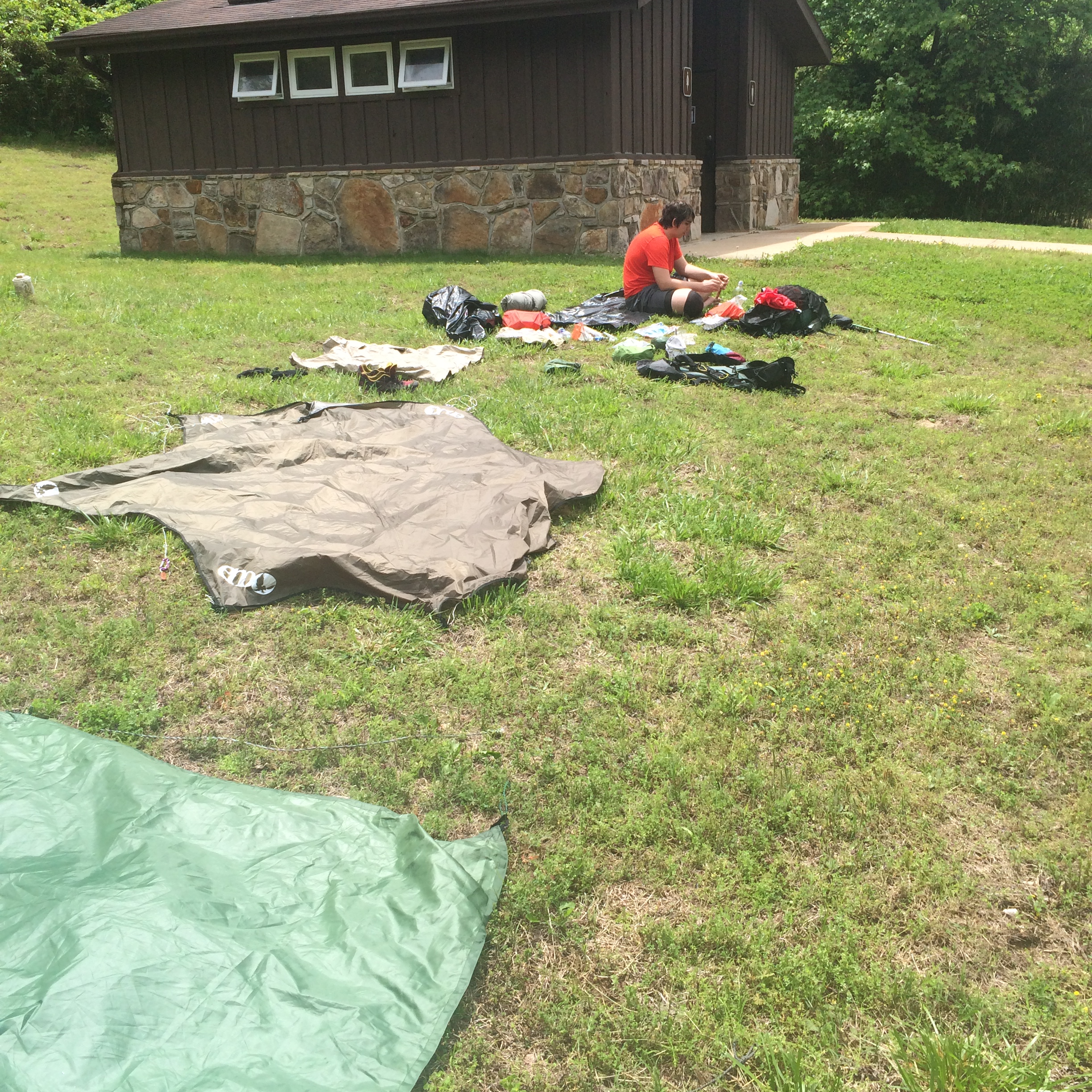 We made it to the Steel Creek Campground at 12:15 and the sun came out! We set up by the restrooms and laid out our gear dry. We ate lunch and enjoyed the sunshine before heading back down the trail at 1:30.
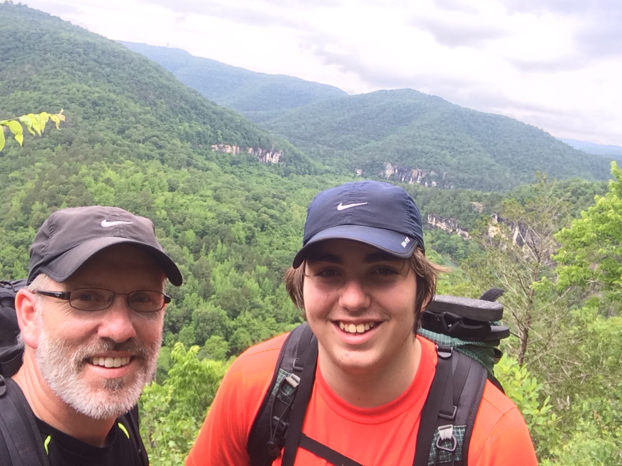
The terrain was rocky and steep in places, but we were rewarded with a great view of the river and surrounding bluffs a couples miles outside of The Steel Creek Campground. This was the best view of the hike. Parts of the Buffalo River Trail here in Arkansas reminds me of the Appalachian Trial in Georgia.

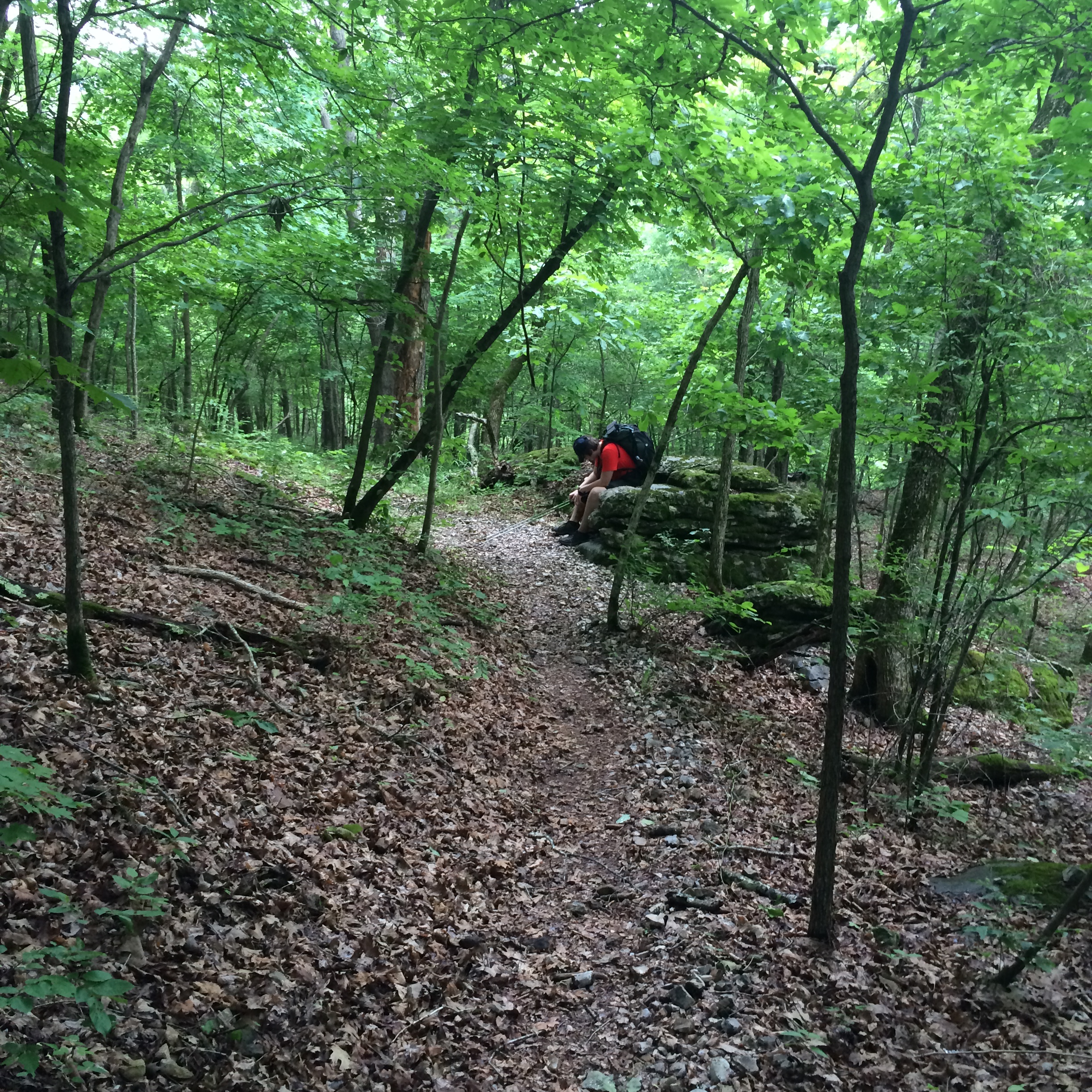
As we continued to climb, Wesley’s knee began to give him trouble. His knee really started to hurt on the downhill towards Beech Creek. As we were making our biggest climb of the day, a 700 foot ascent over 2 miles towards the Slaty Place, Wesley really started slowing down. The knee along with some pretty bad chaffing began to wear him down. He powered through, refusing to switch packs with me. This section of the hike was really similar to the Georgia section of the Appalachian Trail (AT). The AT had higher climbs, but the terrain on this section of the Buffalo River Trail was just as steep and rocky as parts of the AT.
He was in pain and I knew it, but he continued to say he didn’t want to quit. We talked it out and made the decision to get off the trail at Kyles Landing tomorrow. The only solution for a bum knee and chaffing is rest. So the decision was an easy one. I am in pretty decent shape and I could tell this trail was taking a toll on my feet in legs. It felt like I was getting a blister on the bottom of my right toe, probably from hiking with wet feet most of the day. The descent down from the Slaty Place to Indian Creek was wet and muddy. We made it to Indian Creek at 7:15 and found a great spot to make camp!

Wesley collected firewood and I set up the hammocks. A group of hikers we saw at the river overlook hiked joined us at our camping spot. I cooked supper near the fire ring. Ramen and beef jerky were on the menu for tonight. I do not eat Ramen back home, but I crave it on the trail. I talked with the other hikers who were a part of a hiking club in the area. A girl who hiked in after us built the fire. Another one had an interest in the AT. I told stories from my section hike on the AT last year and they had a lot of gear questions. Wesley went to bed a little before 10. I stayed up yawning until about 10:30 p.m. It is hard to pull me away from gear conversations. One of hikers had girl scout cookies, which she shared, and we all enjoyed sitting around the fire, eating cookies, and telling hiking stories. I got into my hammock and was again lulled to sleep by the sound of running water.
DAY 3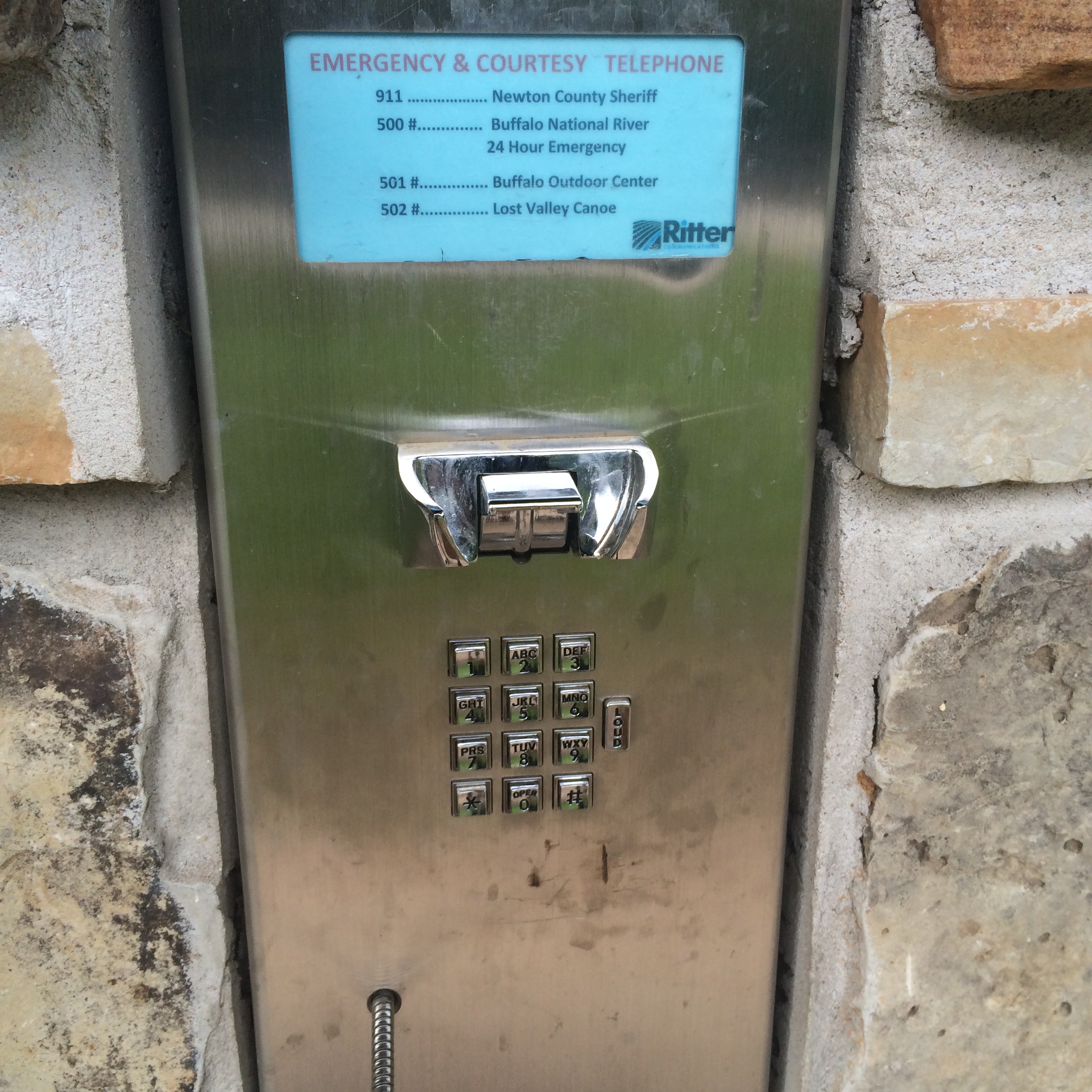
I slept great last night. Fell asleep fast and only woke up twice. We camped again by a creek with a little waterfall, which made for an excellent backdrop for good sleep. I woke up once to rain hitting my tarp at 4 a.m., but fell back asleep until 6:30. It was light rain so I grabbed my food bag and water and started breakfast. I enjoyed my coffee and oatmeal while listening to the new Mumford and Sons on my phone, all from the comfort of my warm and dry hammock. The rain stopped and our camp started waking up about 8 a.m. It looks like nine of us made camp here last night. Wesley was awake, but stayed in his hammock resting his knee. I walked down to Kyles Landing at about 8:30. It was a short walk as we camped only 1/2 mile from Kyles. I found the courtesy phone that Grant told me about. I called the Buffalo Outdoor Center and they said they would bring the car to Kyles Landing but it may be early afternoon before they could get there.
 I walked back to camp and told Wesley. We decided to lounge around camp and enjoy this creek-side camping spot while the sun tried to peak through the trees. I caught up on blogging and enjoyed the sound of the water and the birds overhead before we packed up and hiked out at 11 a.m.
We got to the registration area at Kyles Landing where I made the call to the BOC early that morning and there was our car! We changed clothes and drove out. As we got a cell phone signal, I noticed I had a text from my brother saying a big storm was coming through our area. As we drove to Springdale the rain started coming down hard. I did want to hike on today, but I knew we made the right decision. Hiking in the rain with a knee issue and chaffing would have only made those two issues worse. Sometimes you have to listen to your body and make the right decision even if your heart wants to press on.
All in all it was a great hike. Moments of suffering. Moments of discomfort. But a lot of fun and a memorable experience for Wesley and me.