Berryman Trail Hike: April 9-10, 2015
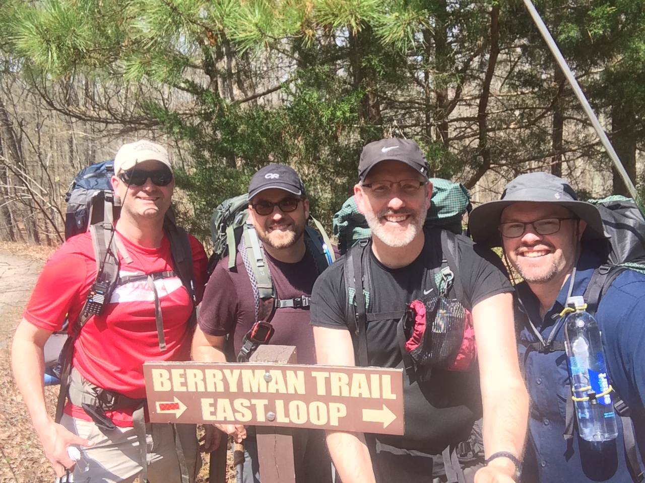 The Berryman Trail (BT) is a 27-mile trail in between Steelville and Potosi about an hour south of St. Louis, Missouri. The BT is a loop, making it possible to hike the trail over 2 days without needing a shuttle. I hiked the trail with Ben, my brother Jeff, and my friend Dave from St. Louis. Ben and I have hiked two other times (here and here) and my brother and I hiked the Georgia section of the Appalachian Trail last summer. This was Dave’s first hike.
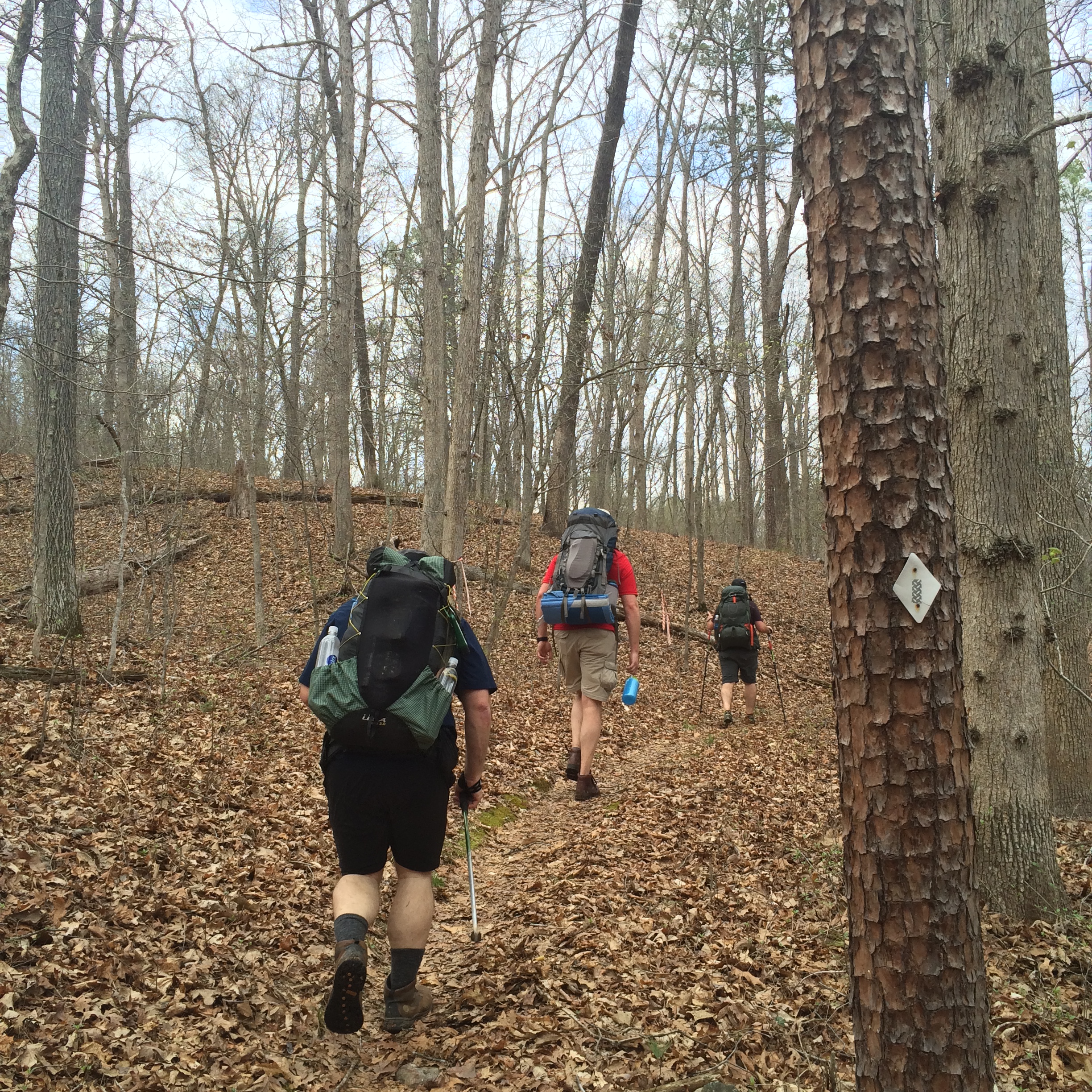
We started the BT on Thursday, April 9 at 1:15 p.m. Our plan was to begin with the eastern loop, hiking the trail counter-clockwise. We headed out under sunny skies and it was in the upper 70s. I had read that the eastern side of the loop was the “dry side,” meaning less water. After days of rain in the area, we found all the streams to be full. I only carried a liter of water and filtered water out of one of the streams when I ran out. We hiked through a a mixture of hardwoods and pines on a beautiful day.
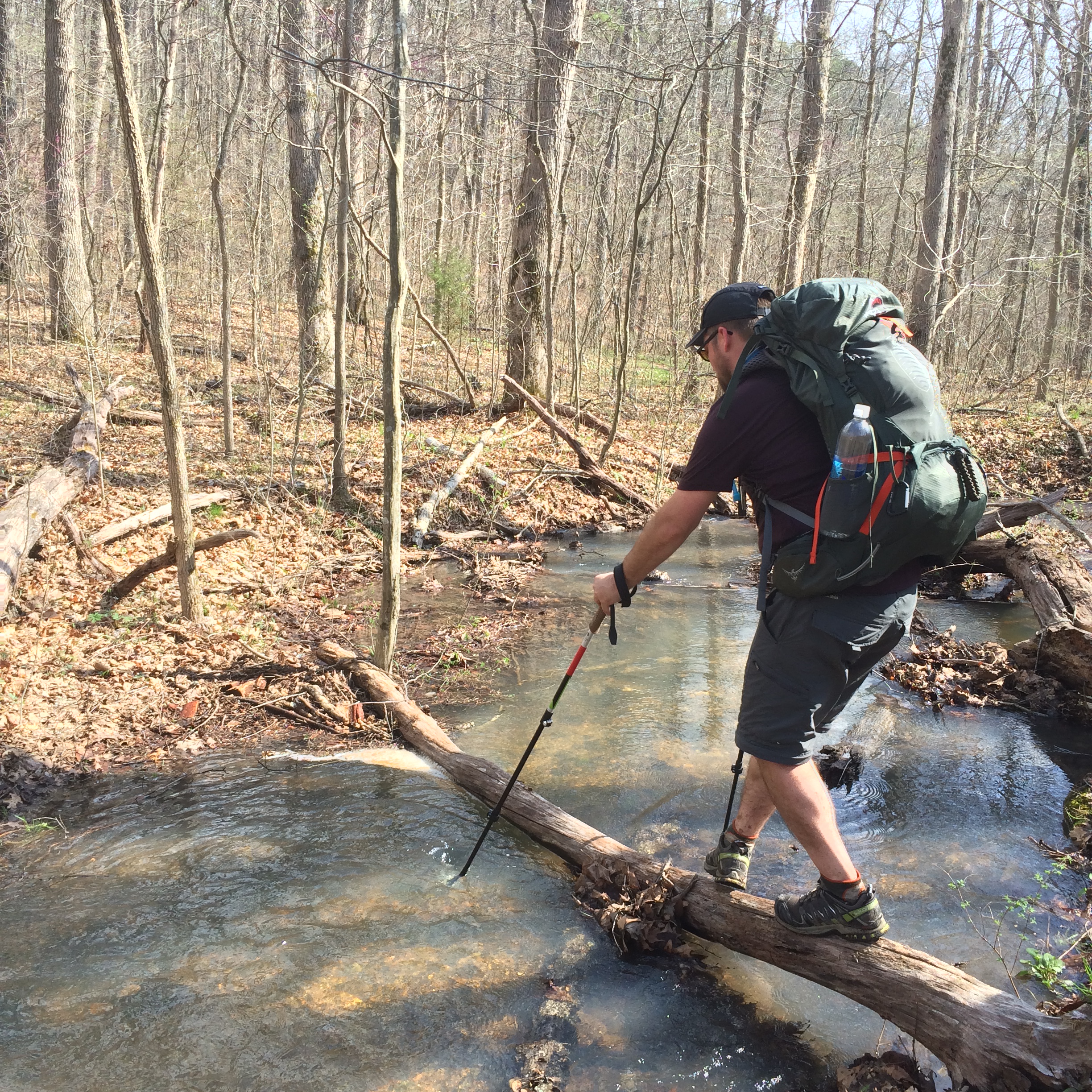
It seemed like we had a stream crossing every few miles or so. We enjoyed finding creative ways to cross the streams without getting our feet wet.
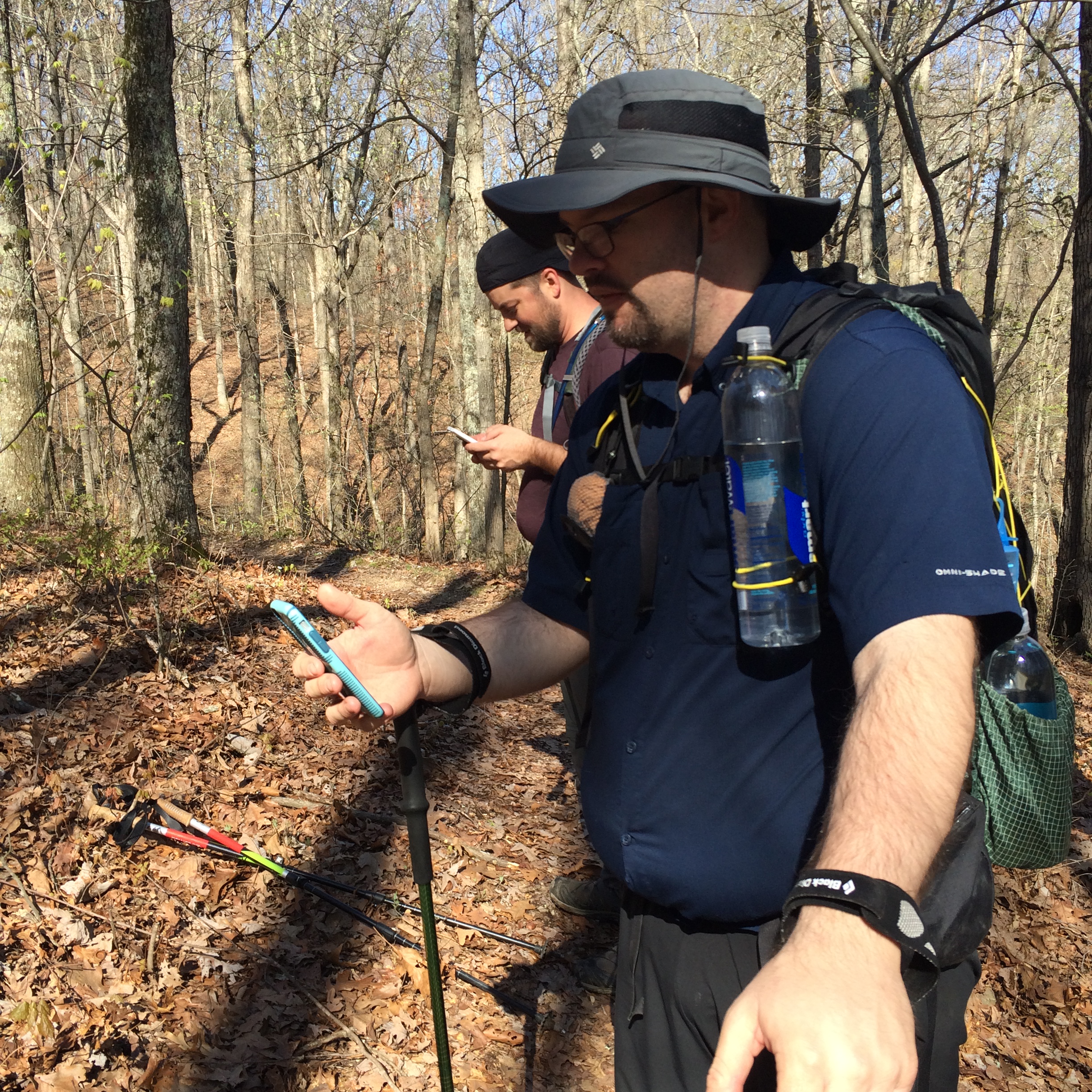
It turned out to be a hot day with the temperature reaching near 80 degrees. There were no tough climbs but we tackled more steep ups and downs on this side of the loop than we would on day 2. We all had AT&T phones and cell service was spotty. We found a signal from time to time.
We arrived at the Brazil Creek Campground at 6:00 p.m., completing 10 miles on our first day. Before we left from the Berryman trail head, we dropped a vehicle at the Brazil Creek Campground because there was a 60% chance for severe thunderstorms. We stashed a pop-up canopy and four chairs in Dave’s vehicle at Brazil Creek. Once we arrived at camp the clouds started rolling in so we set up our shelters first. Dave, Ben, and I were all hammocking. Jeff brought his tent. We set up the canopy over the fire pit and gathered some firewood to keep the wood dry whenever the rain started. But the rain never came.
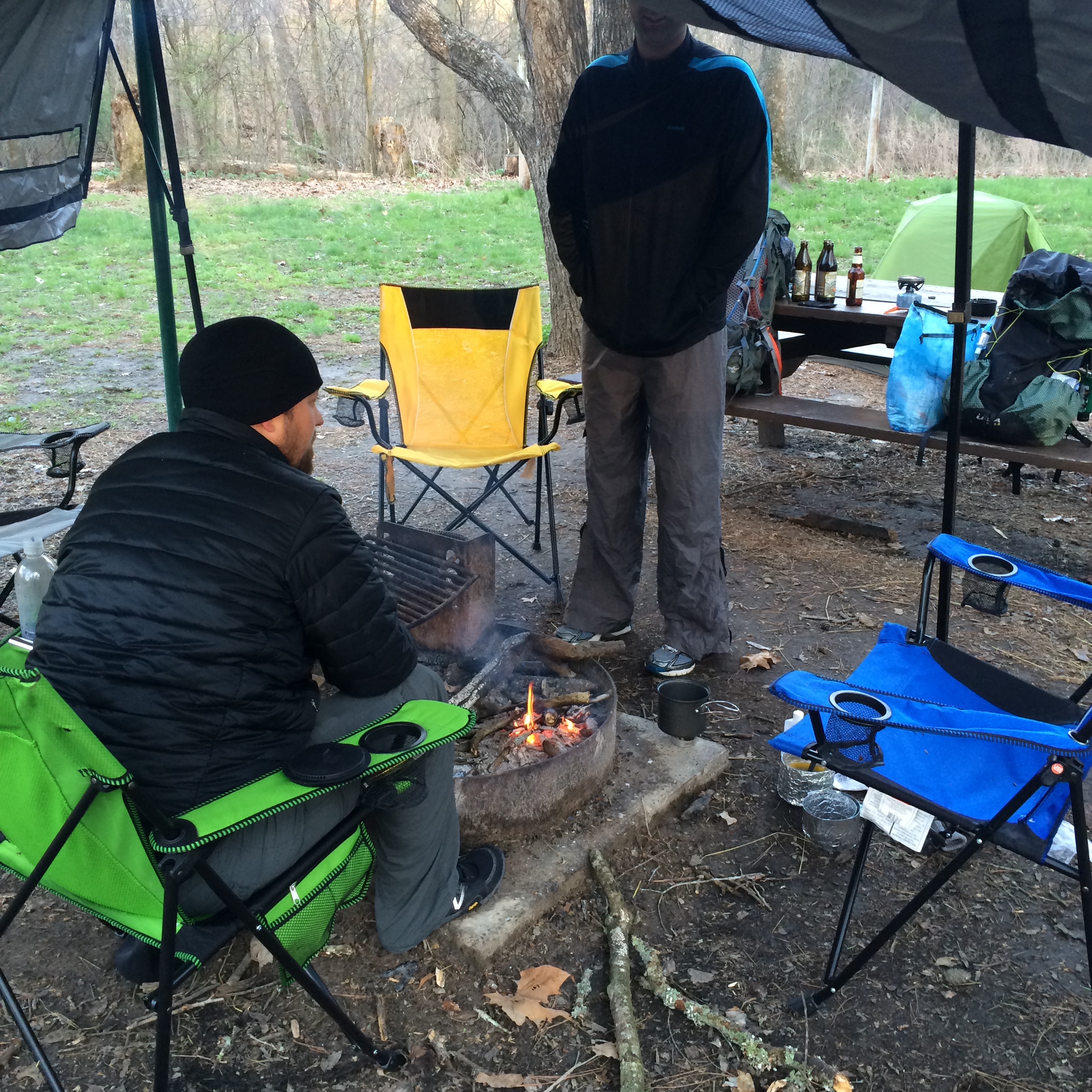
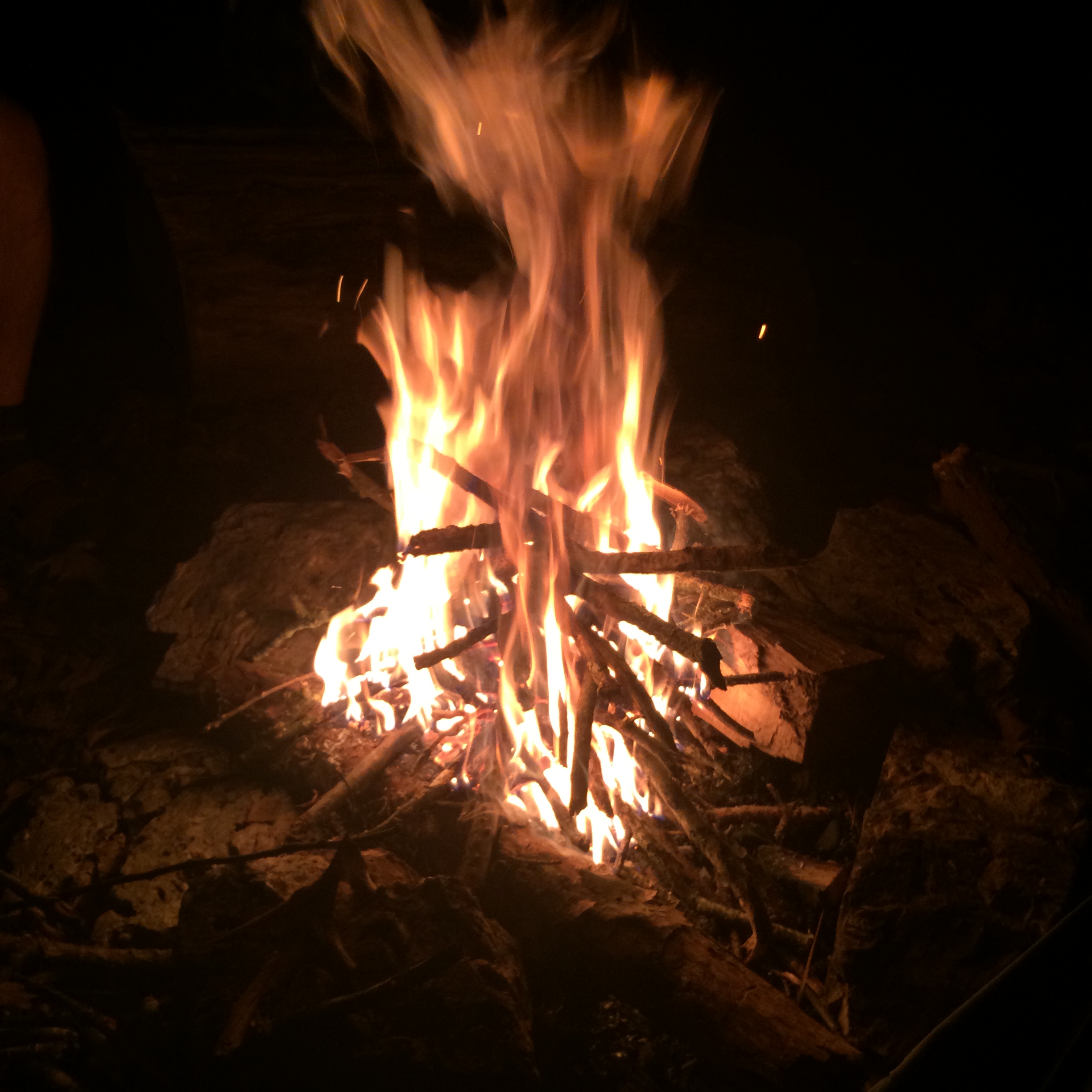
We built a small fire and started cooking supper. I ate mash potatoes and turkey bites, one of my favorite meals on the trail. Ben had a weather radio and we listened as severe thunderstorm warnings and tornado watches were issued for our area. The winds blew up to 20-25 mph. We watched storm clouds come and go and heard thunder in the distance but all the severe weather went around us. We only had a few sprinkles. We never needed the canopy.
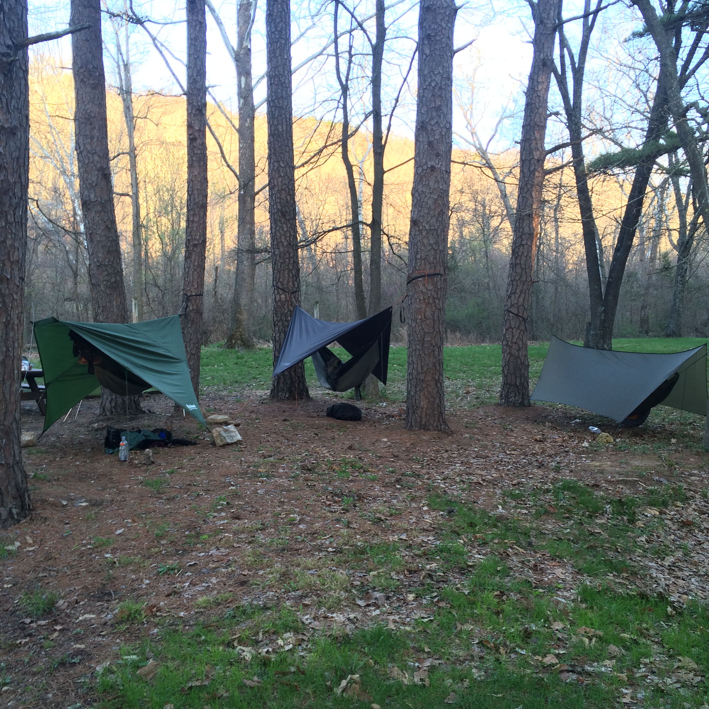
I slept pretty good in my hammock. My new underquilt worked great but the winds continued to rattle my tarp until midnight. Lows dropped down to the low 40s and I woke up cold at about 5 a.m. I used my 40 degree down bag as a top quilt. I should have used my 20 degree synthetic bag. I got up at 6:00 a.m. and built a small fire. I was never shivering cold and I couldn’t see my breath, but it was chilly. After heating water for coffee and oatmeal and after the sun began to peak through the trees, I started warming up.

Brazil Creek was a nice campground. No running water or privy, but it was right by the creek and it did have a picnic table, which is always a plus. It looked to be primarily a horse camp, but there were plenty of flat spots for tents and trees for hammocks. We hit the trail at 9:15 a.m. thinking we had a 14-mile day in front of us but it ended up being a 17 miles to get back to the Berryman trail head. Some of the maps online for the trail are old. We figured out that trail maintainers have rerouted certain sections of the trail to do more ridge walking, following the contours of the bluffs instead of dipping down into the valleys. You do not need a map to hike this trail, but if you are looking to hike the BT and want a map, use this one.
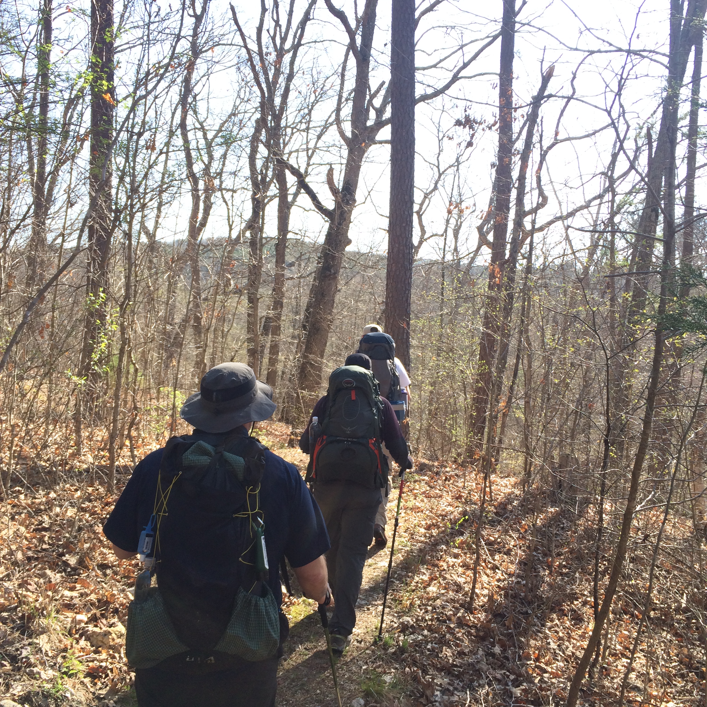
It was cool when we started hiking, but it warmed up quickly. We continued hiking through pines and hard woods. There was even a couple of “views,” at least views for the Ozarks. The second day seemed to have less ups and downs than on the eastern side of the loop. We continued hiking until noon, when we stopped for lunch by a stream. I set up my hammock to enjoy lunch “off the ground.” I love hiking with a hammock because where ever you go you always have a place to sit.
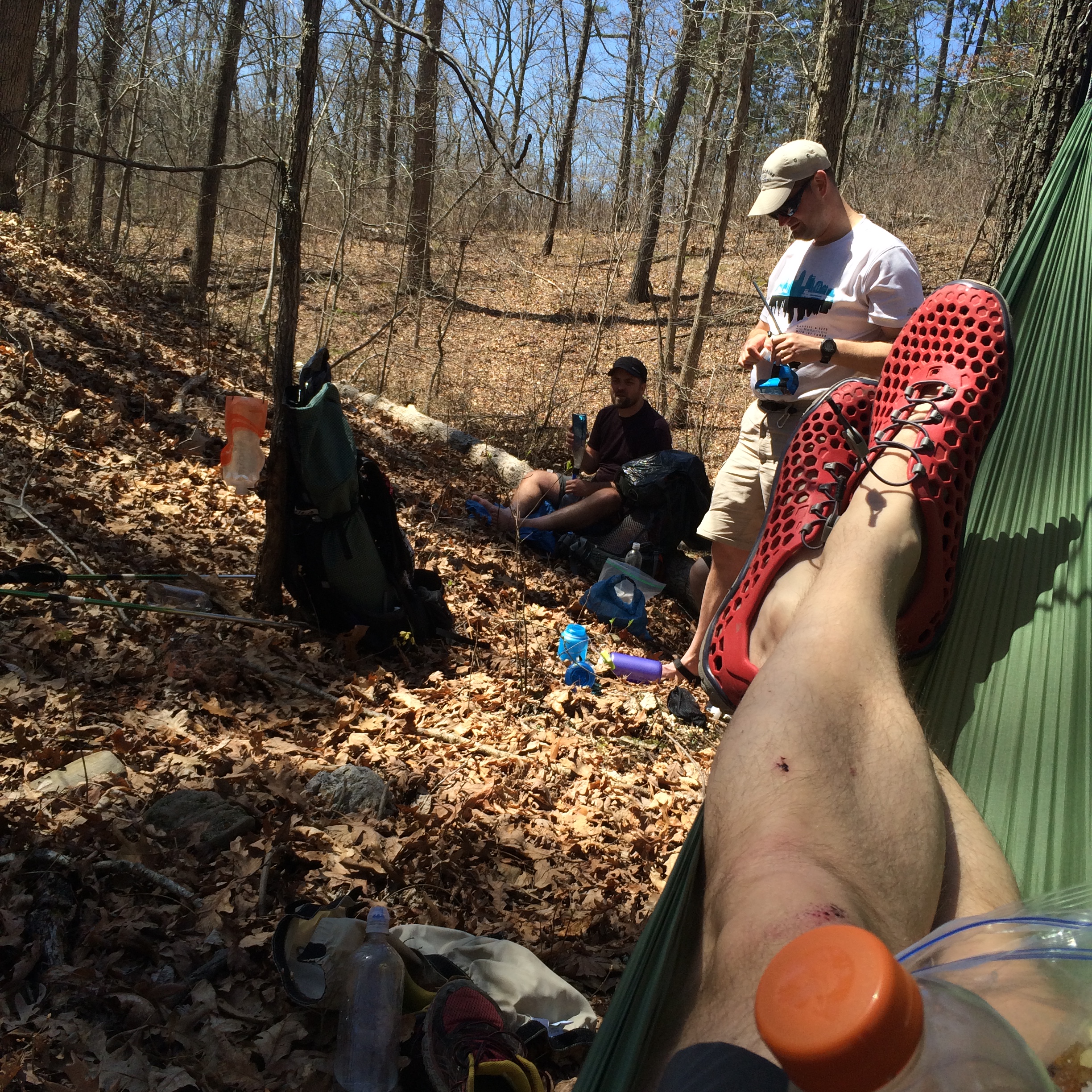
When we were stopping for lunch, two other hikers stopped to chat for a second. They were day hikers, hiking the entire trail that day. One of the guys was from Columbia and the other was from St. Louis. We talked a bit about the BT and gear and then they mentioned that they hiked on the AT last May. They hiked from Springer Mountain to Dick’s Creek Gap in Georgia in May, a couple of weeks before Jeff and I hiked the entire Georgia section. Funny. Small world. These were the only people we saw on the trail.
As we wrapped up lunch, I laid back in my hammock and thought about taking a nap, but we had miles to go before we got to camp. We packed up and headed back down the trail. The longer we hiked, we realized we had more to miles in front of us than expected, which was fine with me. It was sunny and 65 degrees. A great day for hiking.
The western side of the loop overlaps with the Ozark Trail.
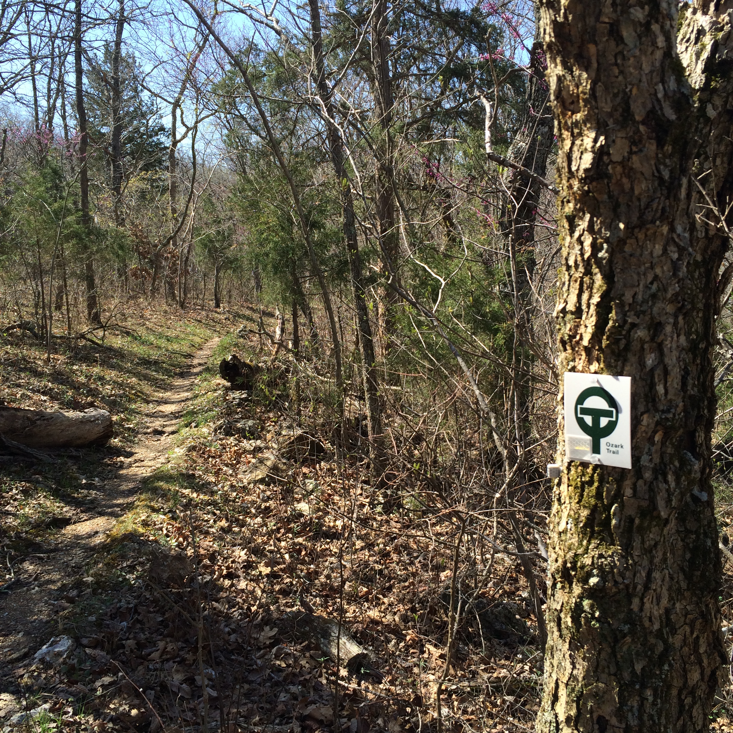
The Ozark Trail (OT) is a collection of trails in the Missouri Ozarks, 390 miles worth. There are plans to connect all of the trails to create a continuous footpath, but right now there is 200+ miles that are connected. While hiking, I thought about doing a long section hike on the OT, maybe 100 miles or so. Maybe summer 2016. Who knows?
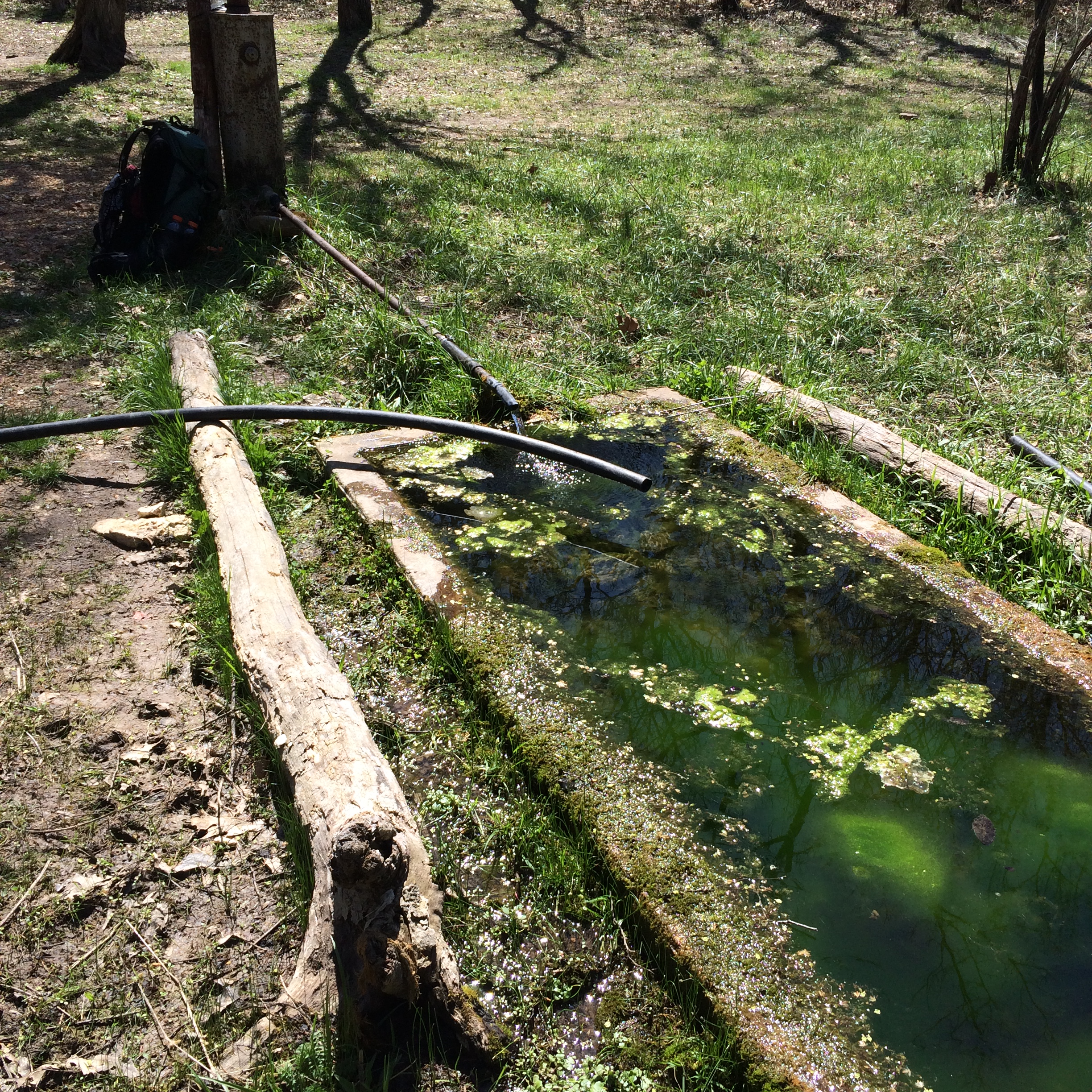
There were a number of access roads crossing the BT, but there were signs at every intersection. There was no way of losing the trail. I appreciate the volunteers who have kept the trail in good shape. We passed a couple a new blow downs and one tree that had recently been struck by lightning, presumably from storms the last couple of days. We didn’t see much wildlife on the trail. I heard turkeys early in the morning and we saw one tree frog, a chipmunk and a squirrel, and one small black snake. We stopped at an artisan well on the trail at the Edward Beecher Recreation Area. This would be a great camping spot. We filled our water bottles from the spring without filtering and then pressed on.
We pushed on realizing we had seven miles to go. I noticed the conversations came to an end as we continued to hike, a sure sign we were getting tired. We took a short break and I checked for a cell signal and got one! I laid down on the ground and rested on my pack. I texted home and posted some pictures from our break spot and then we made the final push to camp.

We made it Berryman Trail head about 5:45 pm and I shot a quick video.
Jeff and I collected firewood, while Ben and Dave drove over to the Brazil Campground to pick up Dave’s vehicle. We set up camp and started supper. We could have driven home, but I would not have gotten back to the house until 11 p.m. I am glad we decided to camp a second night. We ate supper and I built a good-sized fire.
Ben drove into town and returned an hour and a half later with pizza and gummy bears. Even thought I had eaten supper, I ate a slice of pizza. I figure I burned enough calories hiking 17 miles that day. It was a cloudless night and the stars were out as we sat around the fire. We headed to bed around 10:30 p.m. or so and I was fast asleep within about five minutes. I slept good. I did wake up at 4 a.m. a bit cold. I realized that my underquilt had slid out from underneath my hammock. My mistake. I hung it too lose under my hammock. A mistake I will not make again. I fell back asleep and woke up about 6 a.m.
I boiled water for coffee and oatmeal. Ben stoked up the fire and we warmed up. It was about 4o degrees or so. We packed up and headed home about 8 a.m. I am looking forward to my next adventure this summer on the Buffalo River Trail.